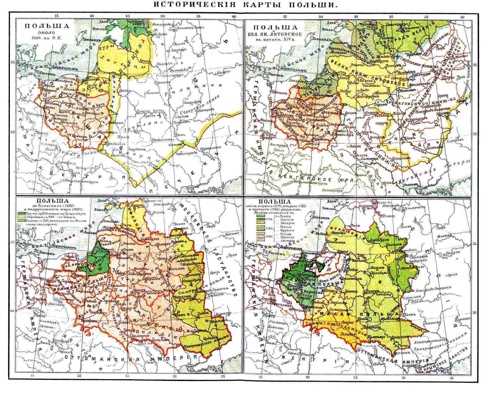
See the Historic Maps Declassified by the CIA
Geege Schuman stashed this in Maps
Stashed in: History!, Maps!, National Geographic
To save this post, select a stash from drop-down menu or type in a new one:
Nerd alert!
In the early days the maps were drawn by hand—in pen—on large translucent sheets that could be stacked in layers before being photographed and printed. (Nerd alert: the CIA has just posted a Flickr gallery of more than 200 images of slide rules, compass clamps, planimeters, and other vintage tools used by their cartographers.)


9:33 AM Dec 19 2016